Winter Comes to Giant Forest

General Sherman Tree With Snow

[photo source: facebook.com/SequoiaKingsNPS]

As a series of storms are crossing over California, they bring snow to the Sierra Nevada mountains. Chains may be required to go into the higher elevations of Sequoia and Kings Canyon National Parks. For information about the currant conditions, go HERE.

chain-control-handout_English_11-13-2013
____________________________________________________________
Contributor: Elsah Cort of Cort Cottage Bed and Breakfast

Along the Hazelwood Nature Trail in November…

The Hazelwood Nature Trail is a gentle one-mile loop in Giant Forest, just east of the Giant Forest Museum. Look for a small parking area on the right, after passing the museum going east. The trail starts to the left of a small meadow, surrounded by several mature Giant Sequoia trees, pines and firs, along with small, gentle creek beds.

[all photos © Elsah Cort, taken in November of 2014]

photo © Elsah Cort

photo © Elsah Cort

There are several fallen trees along this trail.

photo © Elsah Cort
photo © Elsah Cort

Late fall is a wonderful time to see (and small) the forest floor strewn with leaves…

photo © Elsah Cort

__________________________________________________________________________
Contributor: Elsah Cort of Cort Cottage Bed and Breakfast

Soldiers Loop Trail in Giant Forest

The Soldiers Loop Trail intersects with the road to Crescent Meadow at Tunnel Log. As you drive to Crescent Meadow, park in the paved area just before Tunnel Log on the right. Across the road (before the bypass turnoff) look for a sign that says “Museum 1.6”. You can follow this trail all the way back to the Museum. It intersects with the Hazelwood Nature Trail as you get closer to the Generals Highway.  You can walk a short distance from Tunnel Log and see many beautiful Giant Sequoias.

Soldiers Loop Trail was originally built by the US Army, which oversaw the protection of the Park from 1891-1913. Read more about this historical time HERE. The full trail is a 4.6 mile loop, starting from the Giant Forest Museum, following along the Crescent Meadow Road to Moro Rock, then looping back past Tunnel Log through the heart of Giant Forest.

[all photos © Elsah Cort]


Trail in Giant Forest © Elsah Cort       Soldiers Loop Trail © Elsah Cort

Trail in Giant Forest © Elsah Cort

Some of the many Giant Sequoia Trees…

Dogwood Trees in Giant Forest © Elsah Cort

Fall colors from the Dogwood Trees…

Giant Forest © Elsah Cort

Dogwood color, Giant Forest © Elsah Cort

____________________________________________________________
Contributor: Elsah Cort of Cort Cottage Bed and Breakfast


The Blossom Trail Is Blooming for 2014

The Blossom Trail started 26 years ago and is about 70 miles long, leading you through colorful orchards of peach, plum, nectarine, cherry, apricot, apple and almond trees. The trail is found in eastern Fresno County, near the north entrance to Sequoia-Kings Canyon National Parks.

Stay up-to-date with the latest Blossom Trail news at twitter.com/GoBlossomTrail.

blossomtrail2014

Official website for the Blossom Trail is here.

blossomtrailmap1

The route on this map is a suggestion for the official route to take. You can find orchards in bloom on many roads in this area, and also in Tulare County to the south, if you are using the main entrance to the National Parks.

2014 Facebook Photo Contest from Sequoia National Park

The official facebook page for Sequoia and Kings Canyon National Parks will open the voting for the 2014 contest next week. You will need to “like” the page to be able to vote. Over 100 photos were submitted this year. Winners will be announced around February 21.

The Park Staff will set up a Facebook Photo Contest Album for the contest and fans can “Like” as many photos as they want as their votes. The number of photos for the “Fan Favorite” category could be limited based upon quality, appropriateness of the photo, and number of submissions.

1622664_695302583823795_831431741_n

[photo via Sequoia-and-Kings-Canyon-National-Parks]

Walking the Kaweah Lake Bed

During the late summer, the fall and early winter months before the rains come again, Lake Kaweah offers some pleasant walking options in the dry lake bed. Part of the original highway route is still intact and you can walk along dirt road trails. Park at the Slick Rock Recreation Area for a $4 a day use fee ($2 for seniors, $15-30 for an annual pass), and walk across the lake bed toward the dam and boat marina for 1-5 miles. Because Lake Kaweah is a flood control lake, the Kaweah River swells with the Sierra snow melt and fills up to become the lake.

Fishing, camping and boating are also available.

Lake Kaweah © Elsah Cort

Looking back toward Slick Rock, Sequoia National Park and Moro Rock in the background
Photos © Elsah Cort

Lake Kaweah © Elsah Cort  Lake Kaweah © Elsah Cort  Lake Kaweah © Elsah Cort

About Lake Kaweah (via wikipedia.org)

Lake Kaweah is a reservoir near Lemon Cove in Tulare County, California. The lake is formed by Terminus Dam on the Kaweah River. The river originates in the Sierra Nevada mountains and drains about 560 sq mi (1,500 km2) into Lake Kaweah. From Lake Kaweah, the river flows toward the city of Visalia, splitting into the Kaweah River and St. Johns River as it flows west into the Tulare Lakebed. The lake has a capacity of 185,000 acre·ft (228,000,000 m3). A project to raise the lake 21 ft (6.4 m) was completed in 2004. The lake now impounds an additional 42,000 acre·ft (52,000,000 m3) and downstream flood protection to downstream communities and agricultural land has been increased. Because its primary purpose is flood control, Lake Kaweah is maintained at a very low level or empty for most of the year, and generally only fills between May and June. Due to the limited capacity of the reservoir, large spills of floodwater often occur after large rain storms. Water is sometimes released as quickly as possible to maintain flood-storage space in the reservoir. During floods in 1997, the reservoir filled and emptied twice because of this operation regime. Past Lake Kaweah is the small town of Three Rivers, which sits at the main entrance to Sequoia National Park.

U.S. Army Corps of Engineers
Box 44270
34443 Sierra Drive
Lemon Cove, CA 93244-4270
Phone: (559) 597-2301

___________________________________________________________________________________________________
contributor: Elsah Cort from Cort Cottage Bed and Breakfast

GeoTourism: authentic traveling for connecting with place, culture, and nature

Are You a Geotraveler? Or, maybe aspire to be one?

Visit the new Sierra Nevada Geotourism MapGuide.

The Sierra Nevada Conservancy and Sierra Business Council have partnered with the National Geographic Society to capture the history and heritage of the Sierra Nevada Region through an interactive Web site and print map. The Sierra Nevada Geotourism Project seeks to celebrate the Sierra Nevada as a world-class destination, while contributing to the economic health of the region by promoting sustainable tourism. History buffs and adventurers, backpackers and foodies, birders and sightseers can discover unique destinations based on recommendations from those who know best—residents of the Sierra Nevada.

Sierra residents and visitors, community organizations, tourism stakeholders and local businesses nominate sites for inclusion in a print MapGuide and interactive Web site. Unlike any other mapping project, a favorite local restaurant, farm, winery, hiking or biking trail, swimming hole, museum or artist gallery are samples of the type of nominations National Geographic and its project partners will be seeking. The web site will target a variety of growing travel niches—adventure and nature tourism, cultural heritage travel and agritourism—and allow for residents to select the one-of-a-kind places integral to a distinctive character of place.

Geotourism is defined as tourism that sustains or enhances the geographical character of a place—its environment, culture, aesthetics, heritage, and the well-being of its residents. Geotourism incorporates the concept of sustainable tourism—that destinations should remain unspoiled for future generations—while allowing for ways to protect a place’s character. Geotourism also takes a principle from its ecotourism cousin—that tourism revenue should promote conservation—and extends it to culture and history as well, that is, all distinctive assets of a place. Through this site we invite you to visit and experience the distinctive landscape and communities of the Sierra Nevada. Visit National Geographic’s Center for Sustainable Destinations to find out more about Geotourism and discover other places where local communities have come together to encourage responsible tourism.

Hidden Gardens Tour in Three Rivers on April 16


The Hidden Gardens of Three Rivers Tour is sponsored by the Three Rivers Union School Foundation, as a fundraiser for the local school, currently facing severe budget challenges. Six foothill gardens will be open to the public for this self-guided tour.

Actor, William Shatner, has graciously offered to share his beautiful Belle Reve Ranch for this one day special event. Guests will be able to visit his riverside Indian spirit gar…den and Little Grant’s Grove, in their beautiful natural settings along the South Fork of the Kaweah River.

Local artists, musicians, and a “Taste of Three Rivers,” provided by local restaurants will be offered at each garden, along with volunteers and docents, via the local Redbud Garden Club, will help guide you through the garden.

You can also enjoy the local wildflower bloom along your way.

The other five gardens on the Hidden Gardens Tour include
•a tropical garden, with hand-carved tikis, waterfalls, and an outdoor movie theater;
• an authentic early California garden and lavender farm, on a property with an historic adobe home
•a traditional terraced English country garden, complete with art studio and sunset views
•an expansive riverside garden, adjacent to a stunning South Fork waterfall, with a tour of the owners’ home, which was designed and built to the North Star
• a spiritual retreat garden where lawn and flowers meet oaks and granite.

Tickets are $35 each, available at Chumps in Three Rivers or online at trusfoundation.org. You will be able to exchange your ticket for a packet with a name badge, map and directions to each garden a week before the Tour at the Three Rivers Union School from 4-5:30 pm on Mon-Fri, or at Chump’s from 11-8 pm. Packets will also be available on the day of the Tour from 10- 1 pm at the school. Both Chump’s and the school are located on Hwy 198 in Three Rivers.

For more information, call Pam Lockhart at 559-471-6624.

Sequoia Speaks Series Returns

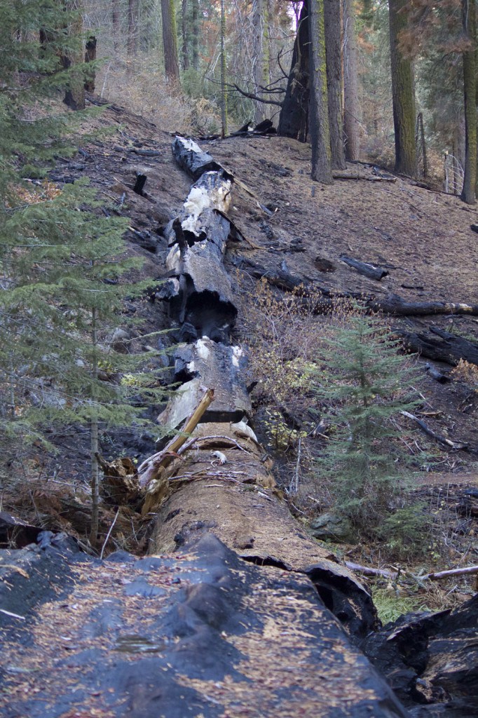
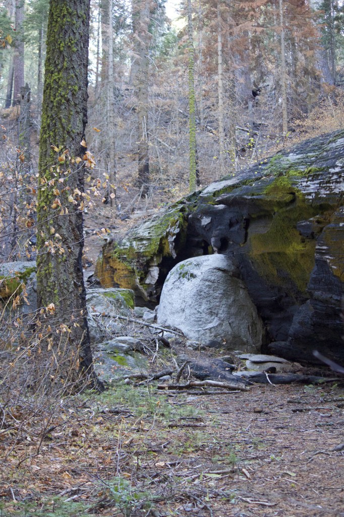
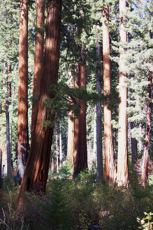
The winter “Sequoia Speaks” series of weekly lectures and presentations starts on January 29. Discover the untold stories of Sequoia & Kings Canyon National Parks through the explorations and experiences of scientists, artists, and historians. This series is resented by the National Park Service. See dates and topics below image.

All programs are free and open to the public, and will be held at the Three Rivers Arts Center on North Fork Drive in Three Rivers.


SATURDAY, JANUARY 29, 2011  7-8 pm
Climate is Changing and So Must We
Accelerated changes in climate and its impacts to water and ecosystems are already being observed in many parts of our planet, including the Southern Sierra Nevada, and more are projected. In the face of these unprecedented global changes, past conditions no longer provide us with sensible management targets. What are land managers to do? The future is uncertain, forcing us to think and act in fundamentally new ways. Koren Nydick, Science Coordinator, will address what the National Park Service and Sequoia and Kings Canyon National Parks are doing to meet this challenge head-on.

SATURDAY, FEBRUARY 5, 2011   7-8 pm
Shifting Water Dynamics in the Sierra Nevada National Parks and their Consequences
Meet Jennie Skancke, the Sierra Network’s new physical scientist, and discover what profound implications warming temperatures and shifts from snow to rain in the Sierra Nevada will have for resources in the national parks and for state water management. Find out how anticipating and documenting these changes will allow the National Park Service resource managers and state water managers to focus their restoration or protection efforts.

SATURDAY, FEBRUARY 12, 2011   7-8 pm
Fire in the National Park Service: An Evolving Relationship
Patterns of fire occurrence in the Sierra Nevada are governed by biological factors, such as plant species composition and fuel production, and environmental and physical factors, such as topography, weather, and climate. Global climate change is likely to cause changes to these patterns. Tony Caprio, Sequoia and Kings Canyon National Park’s fire ecologist will look at past and contemporary patterns and consider how they may change in the future.

SATURDAY, FEBRUARY 19, 2011  7-8 pm
Taking the Long View: park biologists and citizen scientists working together to monitor alpine plant communities
Join Park Plant Ecologist, Sylvia Haultain, on a stunning photographic tour of the plants and animals that live above treeline. She will highlight the parks’ participation in the international Global Observation Research Initiative in Alpine Environments (GLORIA) network and the newly established High Sierra monitoring sites in the Mt. Langley area. Discover an exciting new program that engages you, citizen scientists, in documenting changes in the timing of life cycle events of local plants. Your observations can contribute to our understanding of local climate change effects.

SATURDAY, FEBRUARY 26, 2011  7-8 pm
A Legacy of Joseph Grinnell: predicting the future from the record of the past
Joseph Grinnell, the founding director of the Museum of Vertebrate Zoology at UC-Berkeley and an influential naturalist of the early 20th century, began his career at the museum with this vision: “…the greatest purpose of our museum…will not be realized until the lapse of many years, possibly a century…and this is that the student of the future will have access to the original record of vertebrate conditions in California.” Grinnell’s vision stemmed from his concern for the loss of nature habitats, but today we also face climate change.
Join Jim Patton, Curator and Professor Emeritus, from the University of California, Berkeley in his discussion of the Grinnell Resurvey Project. This project began in 2003 and centered along the length of the Sierra Nevada as a realization of Grinnell’s early vision. He will detail the changes in range distributions of small mammals and birds over the past century, discuss the potential forces underlying these shifts, and address the likely future for several of our most iconic terrestrial vertebrate species.

For more information, please call 559-565-4212.
Image source: nps.gov/seki

Respect the River

A letter to Three Rivers’ visitors
from John and Sarah Elliot Publishers of the Kaweah Commonwealth

We would like to talk frankly with you about our town’s namesake: the three rivers. Most likely, the Kaweah River is why you are here. It is certainly the principal reason why we live here. The Kaweah River is sacred. It is the lifeblood of this community and serves as either the focal point or backdrop in everything we do. The residents of Three Rivers respect the river and understand its power.  The river rules; we can never rule the river.

(photo source riverchica.com)

This time of year, river issues take precedence in all that most residents think about or do. Please know that the Three Rivers community wishes to share this awesome natural resource with you, but there is some critical information that you should know.  Most importantly, this entire community mourns when a visitor succumbs to the forces of the river. Whether it’s the witnesses, the heroic locals who will attempt to save you, the first responders, the volunteer ambulance crew, or even the newspaper staff who must convey the devastating story, many people are deeply saddened by such a tragedy. And multiple drownings occur in the Kaweah River every year. You must never, ever underestimate the power of this waterway or it will take your life away in an instant.

Also, even if the sight of the refreshing water proves irresistible on a hot day, please respect private property and “No Trespassing” signs. If you do properly access the river and spend time along its shores, please carry out what you carried in. This is an unincorporated community with no scheduled trash pickup or routine upkeep at local river sites. You were obviously drawn here by the unique beauty, so consider it your personal responsibility to keep the waterway pristine for the next visitor by properly disposing of your beer and soda cans, food containers, cigarette butts, and your children’s dirty diapers. (Read the rest of the story here.)

%d bloggers like this: